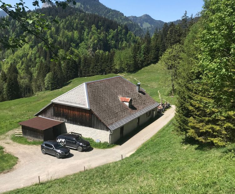
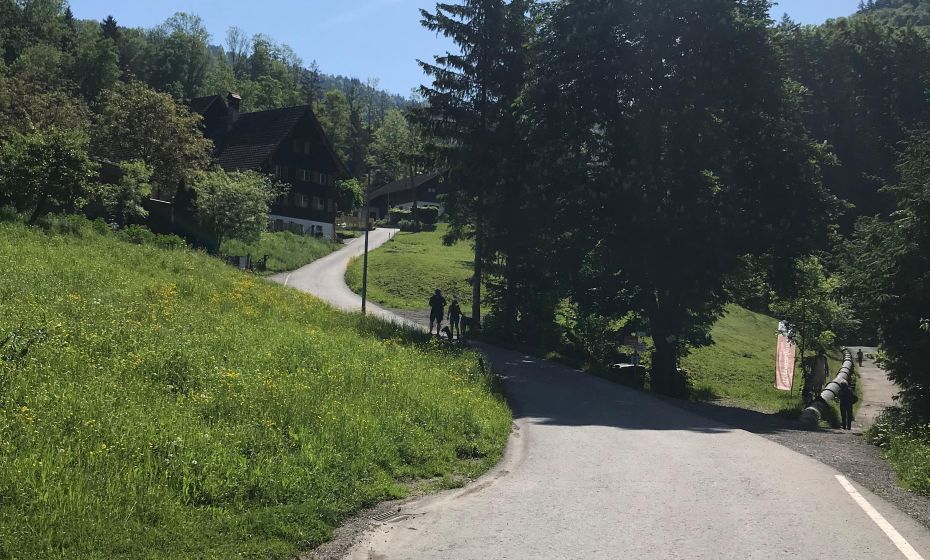
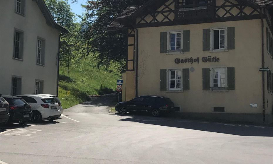
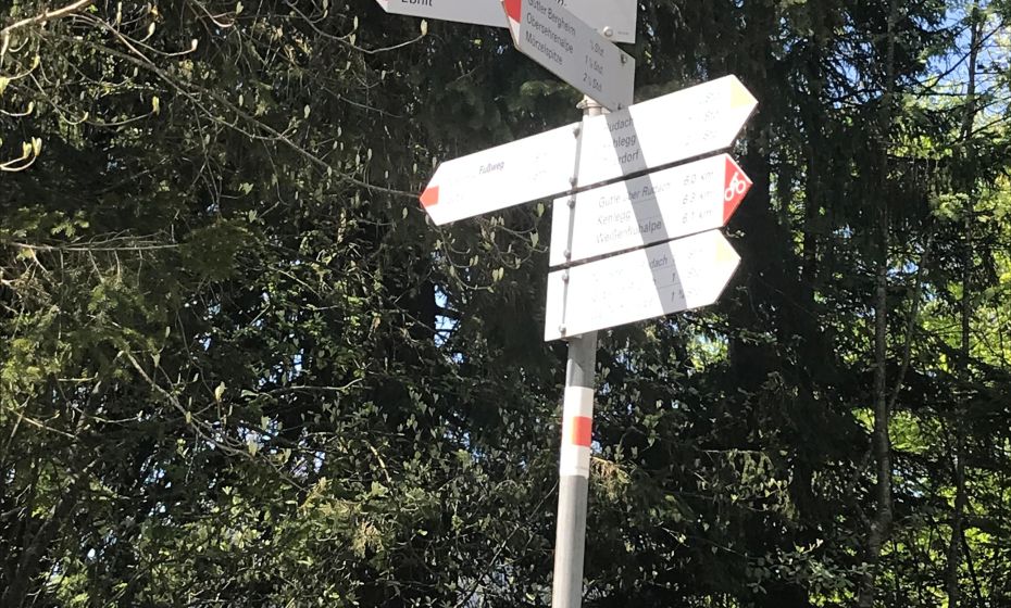
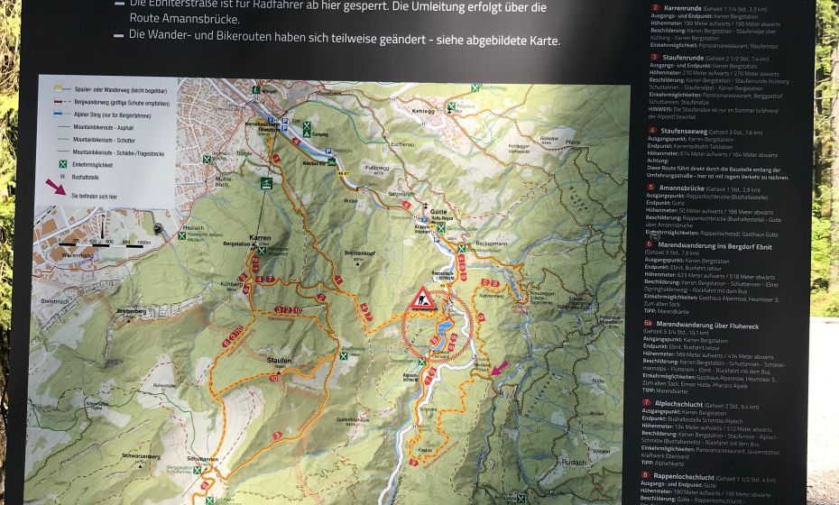
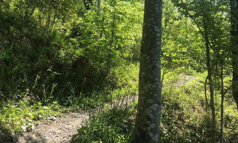
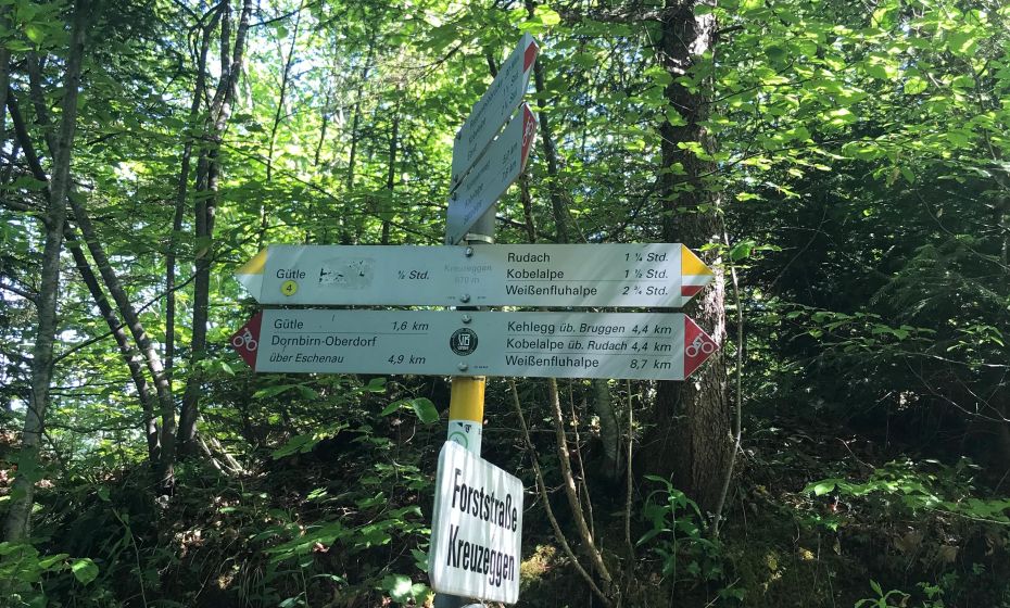
Vom GH Gütle startend beginnt gleich ein Anstieg auf asphaltierter Straße über die Parzelle Beckenmann in den "Bruggerwald". Anschließend folgt man den Wegbeschreibungen auf Schotterwegen in Richtung Rudach/Kobelalpe. Dabei ist kurz vor der sog. "Roten Platte" auf Grund der Steilheit des Weges eine kurze Schiebe-/Tragestrecke zu überwinden. Diese kann man aber umfahren, wenn man dem Schotterweg weiter folgt. Weiter geht es dann auf einem Schotter/Waldweg vorbei an der Waldsiedlung "Rudach" zur schön gelegenen Kobelalpe. Der Rückweg erfolgt in Richtung Gütle über die Niedere entlang der Kobelach. Zuerst erfolgt dieser Weg auf einer Schotterstraße, anschließend auf asphaltierter Straße. Derzeit muss aufgrund des Umbaus der Rappenlochbrücke ein Umweg rundum den Staufensee gefahren werden.
Details
| Kondition | |
| Landschaft | |
| Technik | |
| Erlebnis | |
| Schwierigkeit | moderate |
Best time of year
| Jan | Feb | Mar | Apr | May | Jun |
| Jul | Aug | Sep | Oct | Nov | Dec |
Beschreibung
Starting at Gasthof Gütle, the route begins with a climb on a paved road through the hamlet of Beckenmann into the “Bruggerwald.” From there, follow the signs on gravel roads towards Rudach/Kobelalpe. Shortly before the so-called “Rote Platte,” a short push/carry section is required due to the steepness of the path. However, this can be avoided by staying on the gravel road. The trail then continues on a gravel/forest path past the woodland settlement of Rudach to the beautifully situated Kobelalpe. The return route leads back towards Gütle via Niedere along the Kobelach. First on a gravel road, then on a paved road. Currently, due to reconstruction work on the Rappenloch bridge, a detour around Lake Staufensee is required.
Tour-Quickfacts
Schwierigkeit
moderate
Distance
12,9 km
Duration
01:30h
Ascent
555m
Descent
465m

